Urban simulation with 3D models has become a powerful tool for city planners and architects. It allows professionals to visualize and analyze city layouts, transportation systems, and land use before construction begins. With resources like Evermotion’s city planning 3D model and 3D urban simulation offerings, planners can create realistic, data-driven simulations that help them make informed decisions. These simulations support efficient urban development by providing a comprehensive overview of city environments, from residential zones to commercial districts.
Using 3D Models to Simplify City Layout Planning
Creating a city layout is complex. Planners need to consider traffic patterns, residential zones, and public spaces. A city planning 3D model simplifies this process by offering an interactive way to test different layouts and configurations. With this approach, planners can:
- Assess spatial relationships, such as the proximity of residential areas to commercial zones
- Visualize traffic flow to design more efficient street layouts
- Identify and mitigate potential bottlenecks and access issues in real-time
These simulations give city planners a clear, detailed view of their projects, helping them make smarter, more effective design choices. When planners can see a city layout come to life before construction begins, they are better equipped to address issues and improve urban efficiency.
Analyzing Urban Movement with 3D Simulation
Understanding how people, vehicles, and goods move through a city is essential for functional urban planning. With urban dynamics 3D simulation, planners can analyze movement patterns to make better public transit, traffic flow, and pedestrian access decisions. This data-driven approach allows for:
- Testing how new developments might impact traffic congestion
- Optimizing routes for pedestrians and cyclists
- Enhancing access to key public spaces and transit hubs
Using city planning 3D model options, urban planners can develop layouts that accommodate the needs of residents and visitors, creating an accessible, efficient city structure. These simulations help planners ensure that their city designs support smooth movement and adapt to urban life's evolving demands.
Designing Spaces for Growing Populations
City populations are constantly growing, and planners need strategies for managing density. A future urban 3D model can show how different layouts handle population increases, guiding developers to create balanced, efficient spaces. This type of simulation allows planners to:
- Test housing configurations to optimize space usage
- Plan community facilities like parks and recreation areas within crowded neighborhoods
- Design infrastructure that adapts to rising population demands
Planners can create living spaces supporting current and future populations by simulating these elements. Evermotion’s models provide planners with valuable insights into how urban density affects neighborhoods, helping them create livable cities as they grow.
Streamlining Infrastructure Development with 3D Models
Efficient infrastructure is essential for any city. A 3D urban simulation allows planners to streamline infrastructure development, minimize resource use, and optimize placement for utilities, roads, and public transit. By using a virtual city 3D model, urban developers can:
- Determine the best locations for essential services, like water and electricity
- Plan road networks that ensure smooth traffic flow
- Integrate public transit routes with residential and commercial areas for convenience
This data-driven approach reduces the risk of resource wastage and supports effective collaboration among planning teams. With a comprehensive view of infrastructure needs, planners can design resilient cities that serve their communities well.
Accounting for Environmental Factors in Urban Planning
Environmental factors are critical in urban planning, affecting city layouts, construction decisions, and overall urban functionality. By incorporating city planning 3D model elements, planners can create layouts that account for environmental considerations. This helps in:
- Integrating green spaces within urban areas for recreation and air quality improvement
- Designing layouts that reduce the impact of environmental changes on urban areas
- Creating balanced city designs that align with local landscapes and topographies
3D models allow planners to design cities that accommodate environmental conditions, improving urban areas' visual appeal and functionality. Planners can anticipate the impact of these factors and adjust their designs accordingly.
Improving Public Engagement with Clear 3D Visuals
Public engagement is essential in city planning. Using a virtual city 3D model, city planners can present new developments in a way that the public can easily understand. This helps:
- Showcase new projects to gain community feedback
- Provide a realistic view of changes to get public support
- Enable residents to see how new spaces will impact their neighborhoods
3D models make complex city plans accessible to everyone, building transparency and trust. By visualizing plans with accurate 3D models, planners encourage a collaborative approach to urban development, ensuring that projects align with the community's needs.
Optimizing Commercial and Residential Zones
Balancing commercial and residential areas is crucial for a city’s growth and residents’ quality of life. A future urban 3D model can assist in creating zones that support both businesses and homes. This helps city planners to:
- Design mixed-use areas that bring commercial and residential spaces together effectively
- Ensure access to amenities for both residents and businesses
- Develop adaptable zones that evolve as the city’s needs change
With a focus on both commercial and residential needs, planners can create well-rounded, functional urban spaces. By using data-driven models, city layouts can be refined to meet the demands of different community groups.
 How To Make Your CGI Walls More RealisticRealistic walls with noise modifier.
 Removing LUTs from Textures for better resultsRemove the LUT from a specific texture in order to get perfect looking textures in your render.
 Chaos Corona 12 ReleasedWhat new features landed in Corona 12?
 OCIO Color Management in 3ds Max 2024Color management is crucial for full control over your renders.
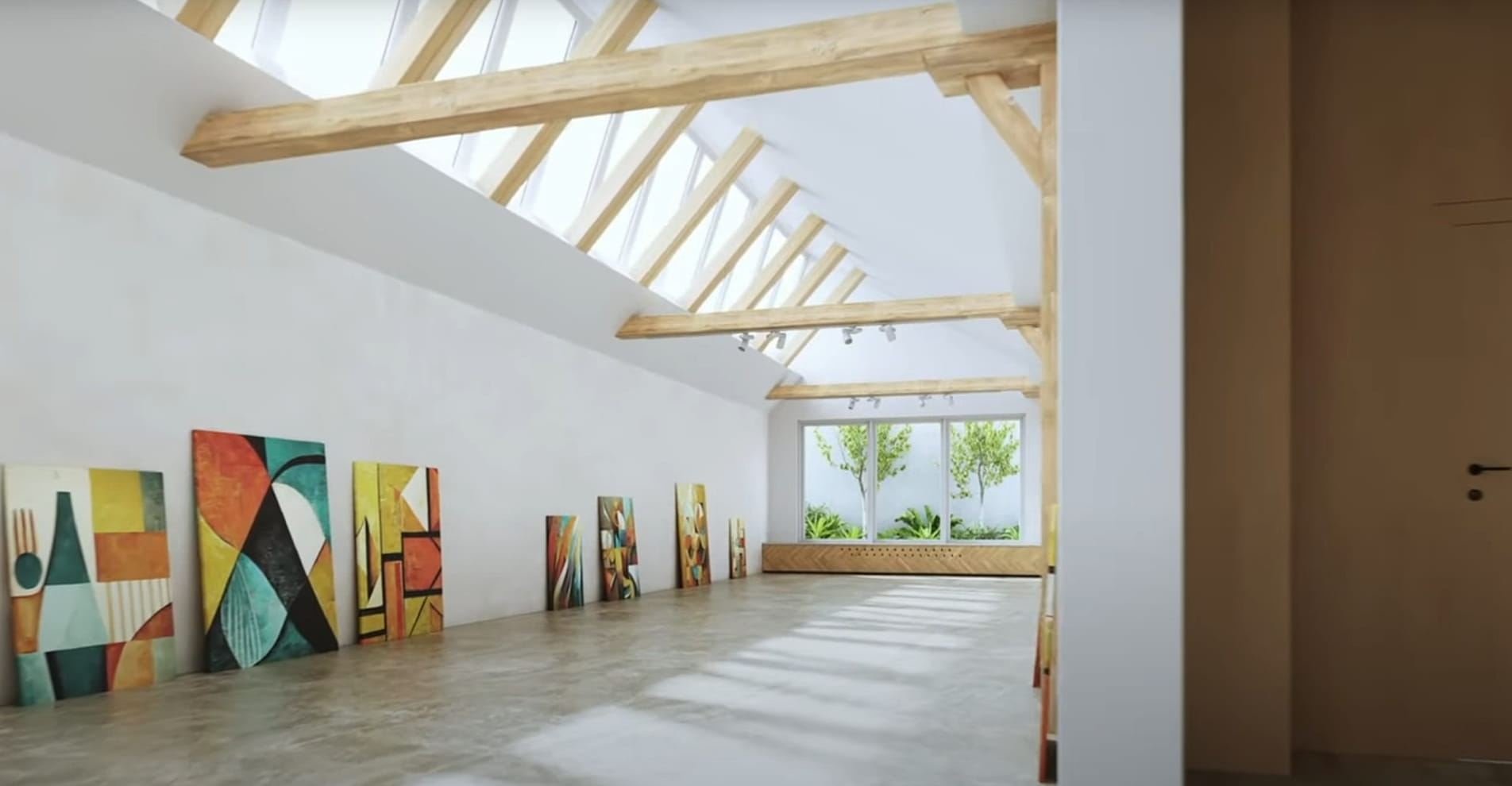 A look at 3dsMax Video SequencerDo you know that you can edit your videos directly in 3ds Max? Renderram is showing some functionalities of 3ds Max's built in sequencer.
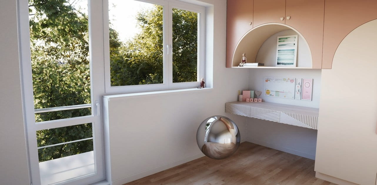 FStorm Denoiser is here - First ImpressionsFirst look at new denoising tool in FStorm that will clean-up your renders.
Customer zone
Your orders
Edit account
Add project
Liked projects
View your artist profile







COMMENTS